Mapping
Roadkill Hotspots
to Save India's Wildlife
A citizen science initiative collecting real-time data on wildlife roadkills across road and rail networks in India — powering conservation decisions with community-driven observations.
Why This Data Matters
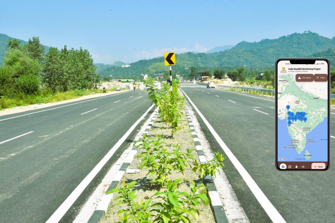
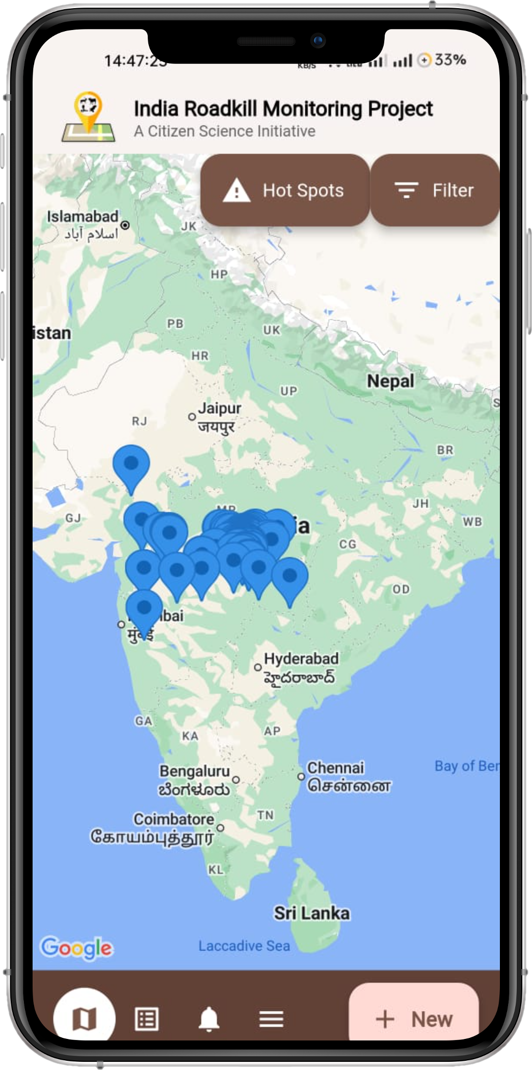
Every reported roadkill contributes to a growing map of collision hotspots that informs policy and conservation.
What We Do
We collect and analyze GPS-tagged data on wildlife roadkills across roads and railways in India to identify wildlife collision hotspots.
Why It Matters
Roadkill data highlights areas with frequent wildlife collisions. Targeted mitigation measures — eco-passages, speed warnings — can be implemented based on our maps.
How You Can Help
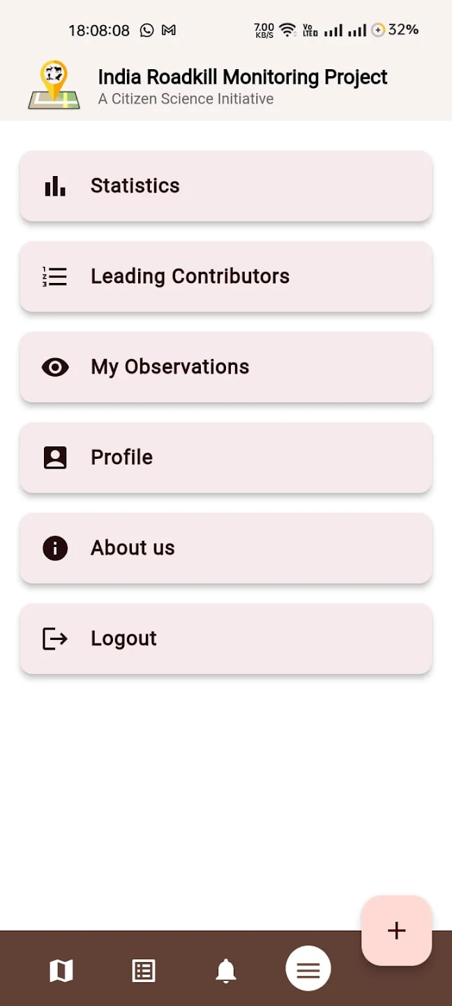
Download the free app, photograph and report wildlife roadkills across India's roads and railways. Each report directly powers conservation decisions.
Wildlife Observed & Reported
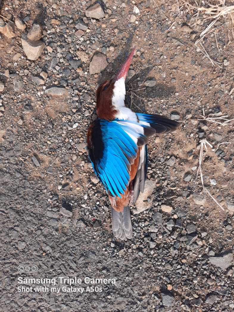 Bird
BirdWhite-Throated Kingfisher
खंड्या
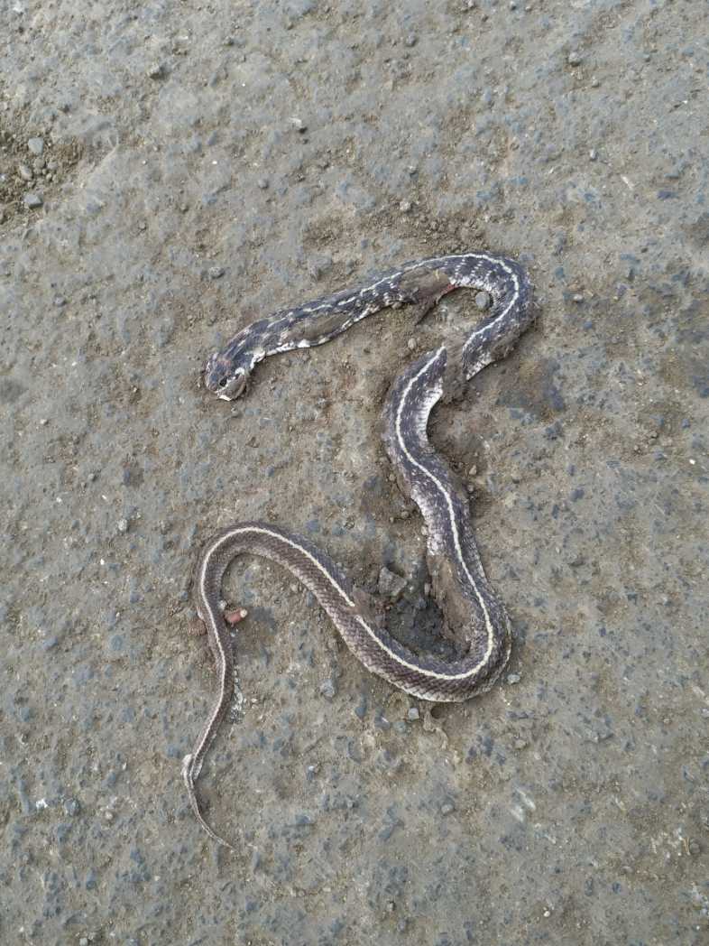 Reptile
Indian Egg-Eater
भारतीय अंडीखाऊ
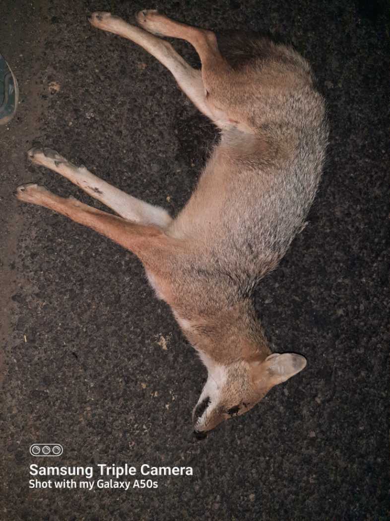 Mammal
Indian Golden Jackal
कोल्हा
Top Contributors
Meet the dedicated citizen scientists who are making a real difference by reporting roadkill incidents and helping us map wildlife corridors across India.
You Can Make a
Real Difference
Download the free app and report wildlife roadkill incidents whenever you spot them. Every observation is geotagged and added to our live database to create actionable conservation maps.
- GPS-geotagged incident reporting in seconds
- Photo upload with species identification
- Works offline — syncs when connected
- Real-time contribution to the live hotspot map


Our Global Network
Collaborating with world-class organizations for wildlife data sharing and research